Onemap
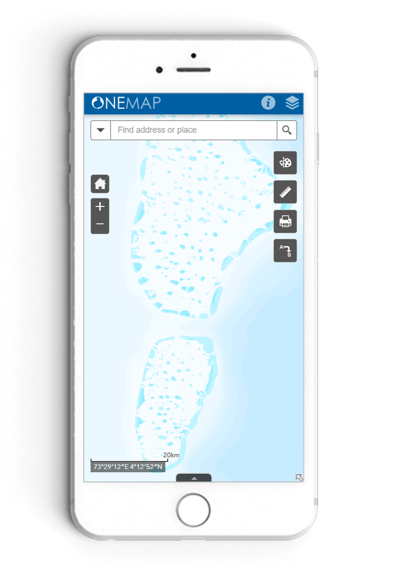
Onemap is the authoritative source for the National map of Maldives developed and maintained by the Maldives Land and Survey Authority under it’s mandate of creating the National Chart and maintaining the National land registry.
Mapping and GIS includes of three sections. The mapping section is responsible for creating, updating, and maintaining the base maps of the Maldives and the official registry of islands in the Maldives.
NSDI section is responsible for maintaining framework datasets like basemaps, and other administrative layers, and maintaining portals like onemap.
Remote sensing and spatial analysis section is responsible for carrying out ariel image projects, feature extraction and spatial analysis.
Land Survey functions comprises of Survey Management which manages cadastral survey data as well and physical surveying works. Survey standards and regulations section manages registration of surveys, creating standards and regulation of surveyors, creating standards and regulations, and approvals of surveys.
Onemap is the authoritative source for the National map of Maldives developed and maintained by the Maldives Land and Survey Authority under it’s mandate of creating the National Chart and maintaining the National land registry.
Posted on: February 20, 2025
Posted on: February 20, 2025
Posted on: September 23, 2024
Posted on: September 02, 2024
Posted on: August 13, 2024
Posted on: August 13, 2024
Posted on: August 06, 2024
Posted on: August 04, 2024
Posted on: August 01, 2024
Posted on: July 25, 2024